Map Coastal And Historic Layers
Confirm Coastal Overlay and appeal jurisdiction, Beach Impact Area, sensitive coastal bluff, flood, zoning, the structure’s age, and current historic records before assuming a permit process.
Choose a design build contractor Ocean Beach homeowners can rely on to coordinate architecture, interior design, estimating, City and coastal permitting support, project management, and construction through one accountable San Diego team.
01.
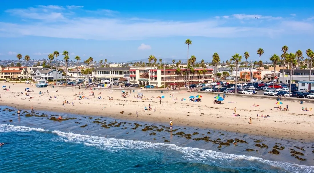
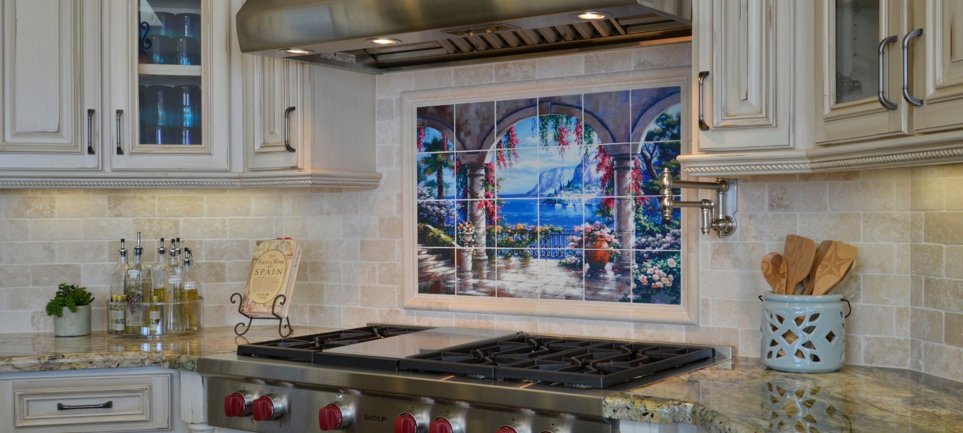
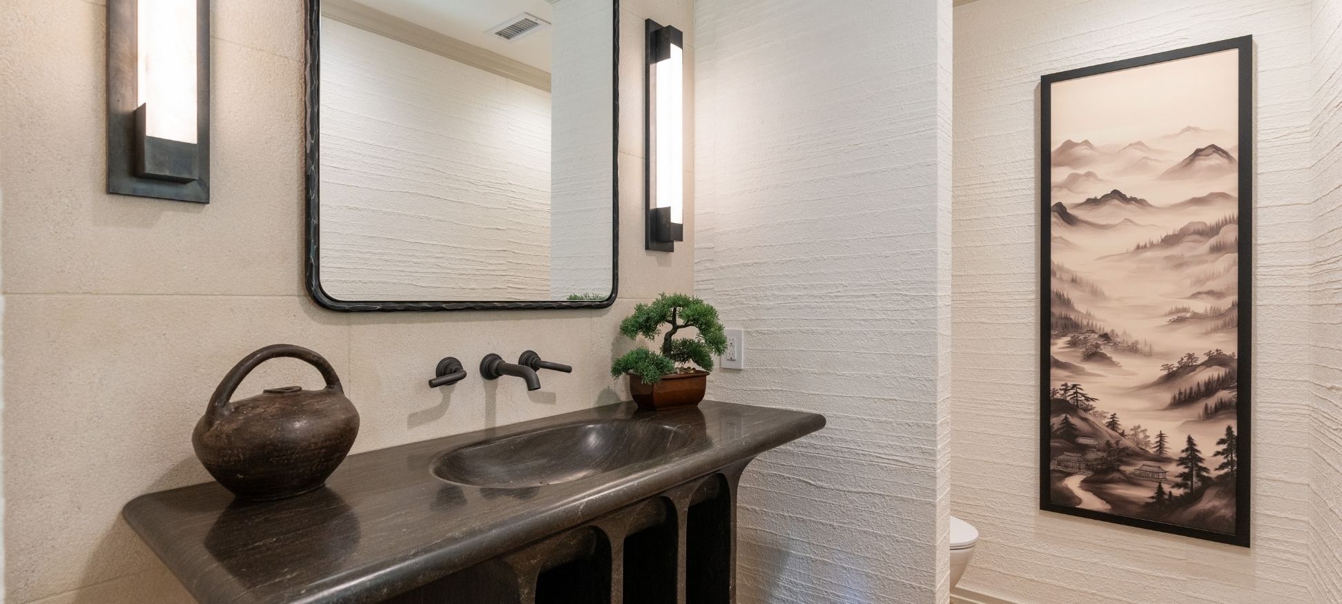
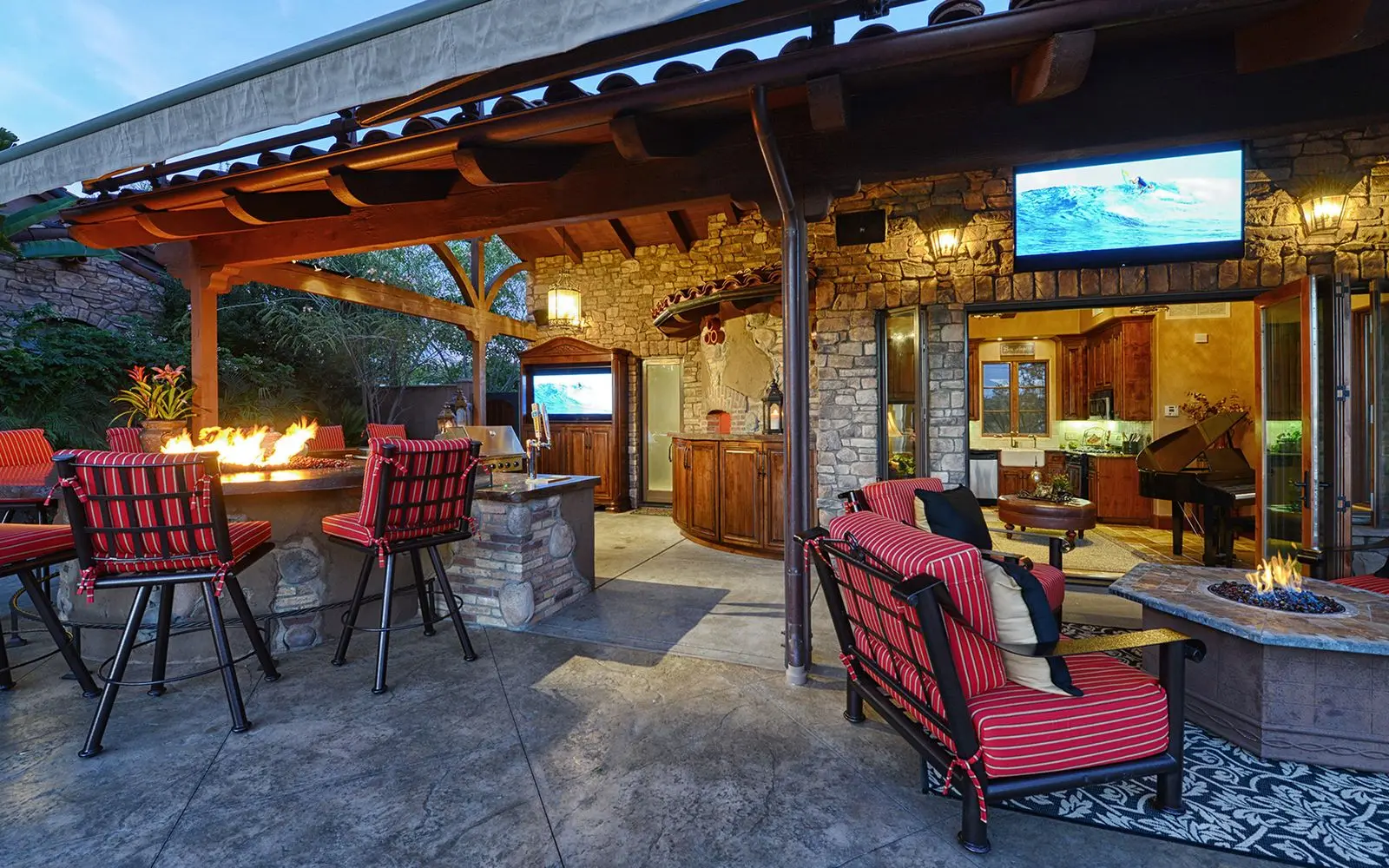
Ocean Beach is one of San Diego’s oldest beach communities, with resort-era cottages and bungalows, Craftsman-influenced homes, postwar infill, duplexes, apartment courts, condominiums, and newer coastal residences on a compact street-and-alley grid between the Pacific and the San Diego River. The address can bring Coastal Overlay, appeal, Beach Impact Area, bluff, flood, historic, archaeological, parking, utility, or access questions into a substantial remodel.
Lars connects architecture, interior design, estimating, selections, technical consultants, City and coastal permitting support, project management, and construction from the beginning. An address-first process helps align the existing home, 45-year historic screening, Ocean Beach Cottage records, mapped coastal conditions, household goals, marine exposure, budget, and construction logistics before design and pricing separate.
Home remodeling in Ocean Beach should begin with the official parcel and overlay maps, the existing building, and the proposed scope. City jurisdiction is consistent, but coastal, appealable, parking, bluff, flood, historic, utility, ownership, and access conditions still vary address by address.
Confirm Coastal Overlay and appeal jurisdiction, Beach Impact Area, sensitive coastal bluff, flood, zoning, the structure’s age, and current historic records before assuming a permit process.
An 1887–1931 cottage, postwar bungalow, duplex, apartment, condo, and newer coastal home can have different foundations, systems, ownership boundaries, character, exposure, and opportunities.
Salt air, wind, moisture, narrow lots, alleys, limited parking, beach activity, deliveries, pedestrians, neighbors, debris, and staging should influence design details and the construction plan from the beginning.
Ocean Beach homeowners should not have to coordinate separate architects, interior designers, engineers, estimators, coastal-review questions, product selections, and contractors on their own. Lars keeps feasibility, design, approvals, cost, material performance, and construction connected through one design-build process.
A defined construction schedule backed by the Lars process once approvals, selections, site conditions, and project eligibility are confirmed.
35+
A long-standing design-build team experienced with detailed renovations, coastal conditions, and coordinated approvals.
1
Architecture, interior design, estimating, permitting support, project management, and construction stay aligned.
Early
Overlay, appeal, bluff, flood, parking, utility, structure, material, and logistics questions are considered before design hardens.
This completed Point Loma two-story addition is shown as nearby Lars work, not as an Ocean Beach case study. The project coordinates the street-facing Spanish-influenced composition, roof and window rhythm, upper-level space, protected courtyard, pool, and wide indoor-outdoor connection as one architectural system. It is relevant proof for Ocean Beach owners balancing added space, coastal durability, privacy, outdoor use, permitting, and a compact neighborhood setting.


Lars supports whole-home remodels, kitchens, bathrooms, room additions, ADUs, outdoor living spaces, and custom homes. Architecture and construction are planned together so layout, structure, systems, coastal details, finishes, City documents, and field execution remain connected.
The process starts with the address, building, parcel, ownership, and household goals. Confirming zoning, coastal and appeal status, building age, structure, foundation, electrical service, plumbing, waterproofing, flood or bluff conditions, utilities, parking, access, and staging early helps create a scope that is inspiring and feasible.
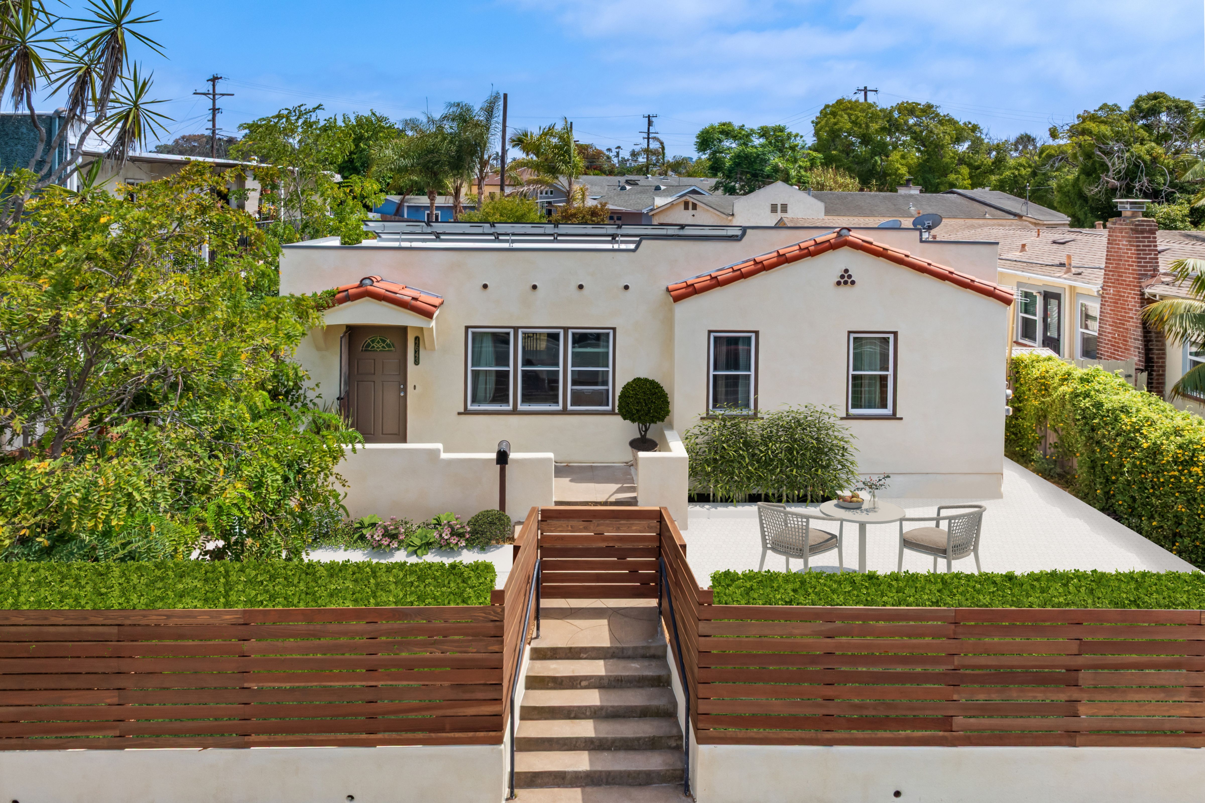
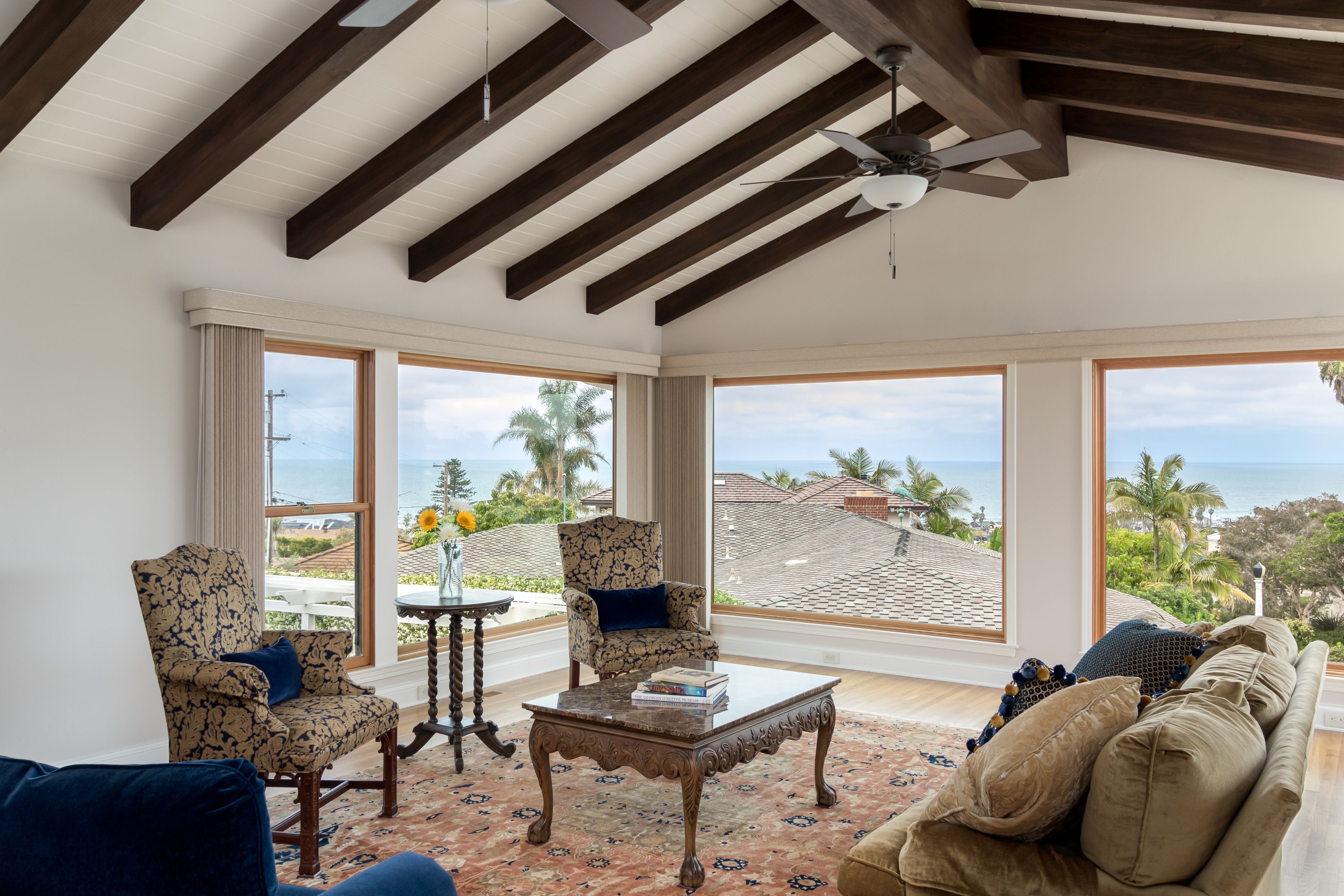
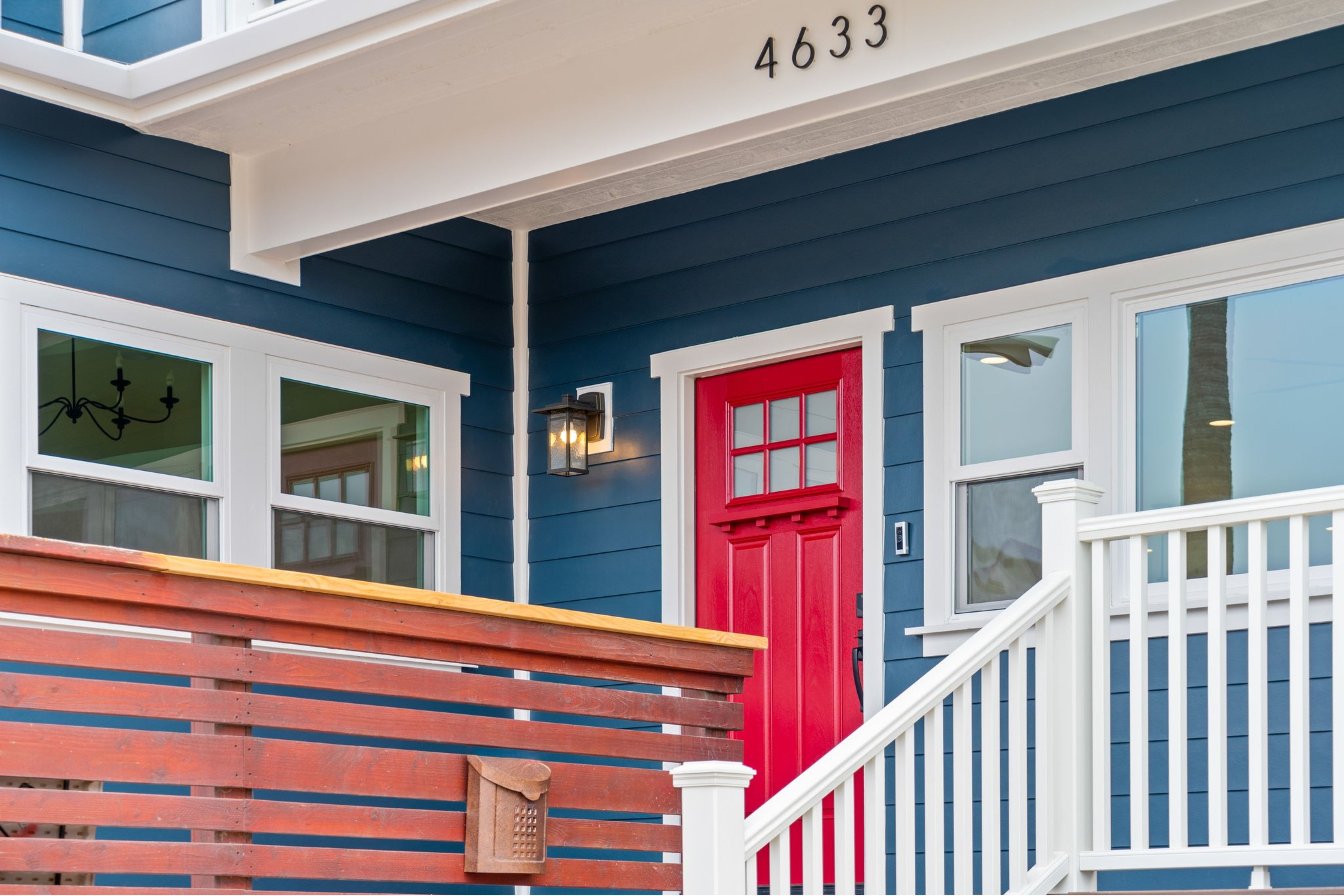

Ocean Beach’s documented development begins with the Resort Town era from 1887 through 1930 and continues through transition and postwar growth. The City’s historic context identifies 72 contributing resources associated with the voluntary Ocean Beach Cottage Emerging Historical District, including two individually significant resources, the Strand Theater and Ocean Beach Library. That planning record is valuable, but each property’s current designation and survey status still require verification.
Original cottages may use raised wood, pier, or post foundations, while later buildings can use slabs or engineered systems; the property must decide. Evaluate foundation, framing, electrical service and wiring, plumbing and sewer, HVAC, roofing, windows, insulation, ventilation, waterproofing, corrosion, drainage, termites, prior additions, shared assemblies, and permit history. Document porch form, rooflines, windows, siding, woodwork, and room proportions before deciding what should remain, be repaired, or change.
Ocean Beach layers small resort-era cottages with postwar homes, multifamily buildings, and newer coastal construction on a compact grid. Confirm the parcel maps, structure age and record, actual foundation and systems, ownership, exposure, parking, flood or bluff relationship, utilities, and access before fixing a remodel concept.
The adopted context traces resort-town development from 1887 through 1930, followed by transition and postwar growth. Later infill, condos, and redevelopment create very different structural, parking, and ownership conditions.
Small wood-frame cottages, Craftsman-influenced bungalows, postwar houses, duplexes, apartment courts, condominiums, and newer coastal residences require different approaches to foundations, shared assemblies, exterior character, exposure, and access.
Newport Avenue, early cottage blocks, the San Diego River mouth, Robb Field, Sunset Cliffs-adjacent streets, bluff or low-lying parcels, alleys, beach parking, pedestrians, and neighboring homes create sharply different project conditions.
Common priorities include more useful kitchens, storage, accessible baths, coordinated system and envelope updates, careful additions, ADU evaluation, corrosion-aware details, waterproofing, ventilation, privacy, outdoor living, and better use of views or daylight.
Ocean Beach combines long-held cottages and detached homes with condos, multifamily properties, and newer coastal residences. Cohesive planning should prioritize livability, durability, maintenance, and the correct coastal path rather than treating a view or beach address as a guaranteed return.
Explore Current Ocean Beach Market DataOcean Beach is within the City of San Diego. Development Services reviews building and discretionary permits, while the Ocean Beach Community Plan and Local Coastal Program Land Use Plan provide community policy. Official parcel and overlay tools—not the neighborhood name alone—should establish the applicable coastal, appeal, parking, bluff, flood, zoning, and historic conditions.
| Review Item | What It Can Mean For An Ocean Beach Remodel |
|---|---|
| City of San Diego authority | Development Services handles building permit applications, plan review, and inspections. Planning maintains the Community Plan and coastal policy context. Use current City application guidance and the online permitting account for the project type. |
| Community Plan and LCP Land Use Plan | The Ocean Beach Community Plan is also the Local Coastal Program Land Use Plan for the planning area. It provides policy and mapped context, but the Municipal Code, certified regulations, parcel zoning, overlays, and project scope determine the actual approval path. |
| Coastal Overlay Zone lookup | Substantial portions of Ocean Beach are coastal, but verify the exact address in the City’s current Coastal Overlay Zone and permit-jurisdiction maps. Do not infer the boundary from distance to the ocean or an Ocean Beach mailing address. |
| Appealable versus non-appealable area | The appealable area is a distinct mapped jurisdiction where certain City coastal decisions can be appealed to the California Coastal Commission. Non-appealable does not mean no coastal review; it can change the process and appeal route. |
| Coastal Development Permit | Development in the Coastal Overlay Zone can require a CDP unless a current exemption or administrative path applies. Interior scope, exterior alteration, addition, new structure, grading, bluff or beach relationship, access, vegetation, and other project facts should be reviewed before promising a process level. |
| Building permit | New structures and regulated improvements commonly require a building permit. Structural openings, additions, electrical, plumbing, mechanical, energy, waterproofing, and other work can change the required documents and inspections; some limited work may be exempt under current code. |
| Beach Impact Area parking | The Beach Impact Area is a mapped part of the Parking Impact Overlay Zone. It can affect residential and ADU parking when the site is outside a transit priority area. Confirm the current overlay, transit status, proposed unit, existing parking, curb cuts, and listed exceptions. |
| ADU Coastal Development Permit | City Information Bulletin 400 says a CDP is required for Coastal Overlay ADUs and JADUs that are not completely within the existing primary structure, increase habitable area, or convert non-habitable space. Certain non-appealable-area projects can use a City administrative Process One path when required findings are met. |
| AB 462 coastal ADU deadline | AB 462 took effect in October 2025 and requires the reviewing coastal agency to approve or deny a complete qualifying ADU CDP application within 60 days; locally approved qualifying ADU CDPs are not appealable to the Coastal Commission. This does not promise complete design, corrections, utilities, construction permits, or construction in 60 days. |
| ADU parking | Current City guidance generally requires no ADU parking in the Coastal Overlay Zone except when the site is in the Beach Impact Area, outside a transit priority area, and no listed exception applies. Exceptions include certain small, attached, historic-district, permit-parking, or car-share circumstances; verify the current rule and address. |
| Structures 45 years old or older | San Diego Municipal Code Section 143.0212 requires historical screening for many permit projects on sites containing structures 45 years old or older. City staff uses photographs and building records to decide whether additional review or study is required; limited exempt scopes exist. |
| Ocean Beach Cottage records | The adopted plan describes a voluntary Ocean Beach Cottage Emerging Historical District with 72 contributing resources built from 1887 through 1931 and two individually significant resources. “Emerging” or survey status is not a substitute for checking the current CHRID and City record for the exact address. |
| Historic exterior work | A designated resource, adopted district contributor, or potentially significant older structure can require documentation and compatible treatment. Confirm character-defining features, proposed demolition, windows, siding, roof, porch, additions, and new openings before the exterior design is fixed. |
| Archaeological and ground disturbance | The Community Plan documents prehistoric and historic archaeological sensitivity in the planning area. New foundations, grading, trenching, utilities, or other ground disturbance may need records review, monitoring, or other environmental analysis when mapped conditions and project scope warrant it. |
| Sensitive coastal bluff and geotechnical review | A bluff, steep hillside, shoreline relationship, mapped geologic hazard, excavation, addition, or new foundation can require geotechnical and discretionary analysis. Proximity to water alone does not establish one universal report requirement; map and investigate the property. |
| Flood, drainage, and waterproofing | Low-lying bay or coastal areas can have Special Flood Hazard Area, groundwater, drainage, stormwater, waterproofing, or finish-elevation questions. Use current FEMA and City maps, survey information, existing drainage, and technical input for the address. |
| Condominium or association review | A condo, townhome, planned property, or shared building may require association approval, owner agreements, common-area coordination, insurance, utility shutoffs, or special access in addition to City permits. Private approval does not replace public review. |
| Schedule and fees | There is no dependable universal duration or fee for an Ocean Beach remodel. Use the City’s current weekly timeline and fee bulletins, then account for process level, completeness, corrections, public notice, appeals, historic screening, technical studies, utilities, outside approvals, and changes. |
Ocean Beach projects do not share one permit duration. The correct sequence depends on Coastal Overlay and appeal jurisdiction, CDP exemption or process level, building age and historic record, Beach Impact Area, bluff or flood conditions, technical studies, and application completeness.
Map Coastal Overlay and appeal jurisdiction, Beach Impact Area, flood or bluff conditions, current zone, building age and historic record, archaeological sensitivity, ownership, parking, utilities, and the full interior and exterior scope.
Submit the correct building or discretionary record with coordinated plans, photographs, building records, parking information, calculations, and required coastal, historical, geotechnical, flood, or environmental documents.
Building, zoning, coastal, historic, structural, fire, flood, geotechnical, or another discipline reviews the applicable scope. Public notice or appeal rights can belong to some discretionary paths but not every Ocean Beach remodel.
Coordinate corrections across architecture, structure, coastal findings, parking, systems, site work, and consultant reports. Issuance follows required decisions, appeal periods where applicable, outside clearances, documents, and fees.
These stages describe agency processing, not a total design, coastal decision, construction, or approval guarantee. AB 462’s qualifying ADU CDP deadline does not establish the full building-permit or project schedule.
View The Current City Permit TimelineOcean Beach ADU planning must combine current City and state unit standards with Coastal Overlay and appeal maps, Beach Impact Area parking, existing structure and historic status, flood or bluff conditions, utilities, privacy, and compact-site construction access.
The City’s current Information Bulletin 400 lists a 1,200-square-foot maximum gross floor area for a qualifying attached or detached ADU. Conversion, multifamily, coastal, and specific unit configurations can follow different provisions.
Four feet is a common side or rear setback starting point in the situations identified by current guidance. Converted space, height, fire separation, coastal review, bluff or flood conditions, utilities, easements, drainage, and existing structures can require another response.
A coastal ADU or JADU can require a CDP when it is not entirely within the existing primary structure, adds habitable area, or converts non-habitable space. Beach Impact Area and transit status can affect parking, while AB 462 addresses a complete qualifying CDP application—not the entire project.
Confirm coastal and appeal jurisdiction, Beach Impact Area, legal units and structures, cottage or 45-year historic record, garage legality, utilities, fire separation, flood or bluff conditions, archaeology, parking, privacy, alley or side access, and useful outdoor space.
A rear garage, small cottage lot, or state ADU allowance does not establish the coastal approval or buildable area. Confirm the parcel maps, legal structures and units, current City and state rules, historic path, parking, utilities, hazards, and construction route before selecting a concept.
Three Ocean Beach conditions can materially change the application path, design, and construction plan. Map each one for the actual address rather than assuming that every beach-community property follows the same process.
Coastal Overlay, appeal jurisdiction, and Beach Impact Area are separate mapped conditions. They can change CDP process, appeal route, parking analysis, and documentation, while a non-appealable parcel can still require coastal review.
The adopted plan documents an emerging cottage district and contributing survey resources, but that is not a blanket designation. Confirm current individual status, structure age, City inventory, proposed exterior work, and whether 45-year screening applies.
San Diego River mouth, low-lying, bluff, hillside, or archaeologically sensitive parcels can add flood, drainage, groundwater, geotechnical, coastal access, retaining, foundation, monitoring, utility, and construction-staging questions.
Ocean Beach review paths diverge around the neighborhood’s early cottage record, river-mouth flood conditions, Beach Impact Area parking, appeal jurisdiction, compact resort-era lots, and Sunset Cliffs-adjacent landforms. The address should establish which coastal and technical story applies.
| Project Situation | Planning Impact |
|---|---|
| Resort-era cottage interior | Confirm whether wall openings, foundation work, new equipment, windows, doors, or exterior penetrations are part of the project. Document the porch, roof, siding, openings, room proportions, and later additions so a functional kitchen or bath does not accidentally create an undefined exterior or historical scope. |
| Ocean Beach Cottage exterior change | Check the current individual record, age, survey information, 45-year screening, Coastal Overlay and appeal maps before changing siding, windows, porch, roof, or massing. Emerging-district research informs the review but does not replace the address-level City determination. |
| Newport Avenue mixed-use renovation | Separate private interior work from storefront, common structure, accessibility, utilities, refuse, pedestrian protection, delivery, work-hour, and occupied-neighbor impacts. The coastal and historical record should match the full building scope, not only the remodeled room. |
| Beach Impact Area ADU | Map Coastal Overlay, appeal jurisdiction, Beach Impact Area, transit status, existing parking and curb cuts, legal garage or accessory space, and current exceptions before assuming either a parking space or no parking is required. Then test privacy, yard, sewer, fire separation, and construction access. |
| River-mouth or Robb Field-area addition | Confirm current flood mapping, survey elevations, groundwater or drainage evidence, foundation, utilities, waterproofing, equipment elevation, environmental conditions, and evacuation of water from the site before fixing the new floor level or footprint. |
| Sunset Cliffs-adjacent upper-level work | Verify the community-plan boundary, appeal jurisdiction, bluff or geologic mapping, height, public-view relationship, setbacks, foundation, drainage, wind, corrosion exposure, neighboring privacy, and equipment route before promising a second story, deck, or large ocean-facing opening. |
| Apartment court or coastal condo | Identify ownership of walls, decks, roofs, windows, waterproofing, risers, shutoffs, and exterior equipment. Association approval, occupied-unit protection, sound control, stair or courtyard access, and material storage belong in the design-build plan alongside City permits. |
| Ground-disturbing redevelopment | For a new foundation, major addition, utility trench, grading, or deep excavation, coordinate the coastal process with current archaeological, flood, bluff, geotechnical, drainage, utility, parking, and access requirements before demolition or consultant scopes are fixed. |
The supplied research and adopted plan identify useful historic subdivisions, corridors, river-edge areas, and bluff-adjacent blocks. These names provide planning context—not conclusions about Coastal Overlay, appeal jurisdiction, Beach Impact Area, bluff, flood, zoning, historic status, or permit path.
| Area | Typical Character | Planning Note |
|---|---|---|
| Ocean Beach Cottage area | Beach cottages and bungalows from the 1887–1931 resort-town era form the community’s best-documented historic concentration. | Check the current address record, structure age, designation or survey status, 45-year screening, exterior scope, coastal maps, and whether compatible rehabilitation or added documentation applies. |
| Ocean Beach Park and Collier-era blocks | Compact early subdivisions include cottages, bungalows, duplexes, later infill, alleys, and narrow original lots. | Confirm parcel dimensions, zoning, historic record, setbacks, parking, utilities, foundation, privacy, alley access, deliveries, and staging before planning an addition or ADU. |
| Newport Avenue and commercial core | The neighborhood’s active commercial spine includes shops, restaurants, mixed-use buildings, apartments, pedestrian activity, and limited parking. | Plan ownership, zoning, historic record, coastal status, utilities, refuse, work hours, deliveries, public safety, noise, common access, and occupied-neighbor protection. |
| San Diego River mouth and Robb Field area | Northern blocks meet the river, recreation, beach activity, older homes, multifamily properties, and low-lying coastal conditions. | Confirm flood and coastal maps, drainage, groundwater, utilities, parking, environmental constraints, access routes, foundation conditions, and current technical requirements. |
| Sunset Cliffs-adjacent blocks | Southern and bluff-oriented properties can combine ocean exposure, views, slopes, constrained access, and sensitive coastal conditions. | Verify the planning boundary, appeal jurisdiction, bluff mapping, geologic hazards, setbacks, grading, drainage, height, public views, utilities, equipment access, and staging. |
| Condo and multi-unit properties | Shared walls, common systems, associations, limited storage, occupied neighbors, and access through stairs, elevators, courtyards, or narrow side yards. | Confirm ownership, association documents, structural assemblies, plumbing risers, shutoffs, waterproofing, sound control, insurance, work hours, deliveries, debris, and City permits. |
Ocean Beach compresses old cottages, a commercial spine, river-edge flats, bluff-oriented blocks, beach traffic, and shared buildings into a small planning area. Field investigation should identify which exposure, water, access, and historical conditions belong to the exact property.
| Condition | What To Plan For |
|---|---|
| Cottage foundations near grade | Inspect piers, posts, cripple walls, crawlspace ventilation, wood-to-soil clearance, settlement, termite damage, moisture, patched framing, and later porch or rear-room enclosures. A small footprint can conceal several generations of structural and drainage decisions. |
| River mouth and low-lying blocks | Compare FEMA and City mapping with survey elevations, street and yard grades, roof discharge, drains, sewer, groundwater evidence, foundation vents, equipment locations, and finish materials. Robb Field proximity does not impose one answer, but it is a clear reason to verify water behavior. |
| Salt exposure on a small building | Detail fasteners, railings, exterior lights, windows, doors, flashings, condensers, coatings, and dissimilar-metal connections for the property’s actual exposure and maintenance access. On a compact cottage, every exterior component is close to occupied rooms and neighbors. |
| Newport Avenue and beach-day logistics | Coordinate curb demand, deliveries, debris removal, worker parking, pedestrians, bicycles, commercial activity, work hours, portable facilities, security, and daily cleanup around seasonal and weekly street conditions rather than a suburban staging assumption. |
| Alley utilities behind early lots | Measure the alley, garage, gates, fences, poles, wires, meters, sewer cleanouts, trash route, and turning space. The same alley that appears to solve access can constrain excavation, cranes, large windows, cabinets, and ADU material delivery. |
| Bluff wind and ocean-facing openings | Study pressure, driven rain, flashing, glazing, shading, glare, privacy, public views, guardrails, waterproofing, and drainage together. A larger opening or deck should work during marine-layer mornings and windy afternoons, not only in a clear-day rendering. |
| Archaeological sensitivity during trenching | Define foundation, utility, drainage, and demolition depths early enough to coordinate records research or monitoring when current City review requires it. Unexpected ground work is harder to manage after the permit set and construction sequence are fixed. |
| Shared coastal envelope | In a condo, court, or duplex, identify who controls roof, deck, window, wall, drain, flashing, riser, and shutoff. Waterproofing and ventilation changes must protect the common assembly and neighboring units, not only the renovated interior. |
An Ocean Beach cottage often has little square footage to waste. Reworking a rear kitchen, opening a better path to a small patio, using built-in storage, and consolidating circulation can create meaningful room without erasing the porch, roof, window cadence, or easy scale that gives the house its identity.
Pair the City age and cottage record with a crawlspace, envelope, and system investigation. Foundation repairs, sewer work, panel capacity, waterproofing, ventilation, termite damage, and a later enclosure may need to be solved in the same scope as the visible kitchen or bath.
On an early beach-grid lot, an addition competes with parking, a narrow side yard, the alley, a useful patio, neighboring windows, and the original cottage mass. Near the river mouth it may also need to respond to finish-floor and drainage evidence; toward Sunset Cliffs, wind, bluff mapping, and public-view questions can become more important.
Test massing and floor elevation with the coastal process, Beach Impact map, foundation, sewer and electrical routes, historic record, sun, privacy, and delivery path visible on one feasibility plan. That prevents a dramatic deck or upper room from depending on parking or construction assumptions that do not survive review.
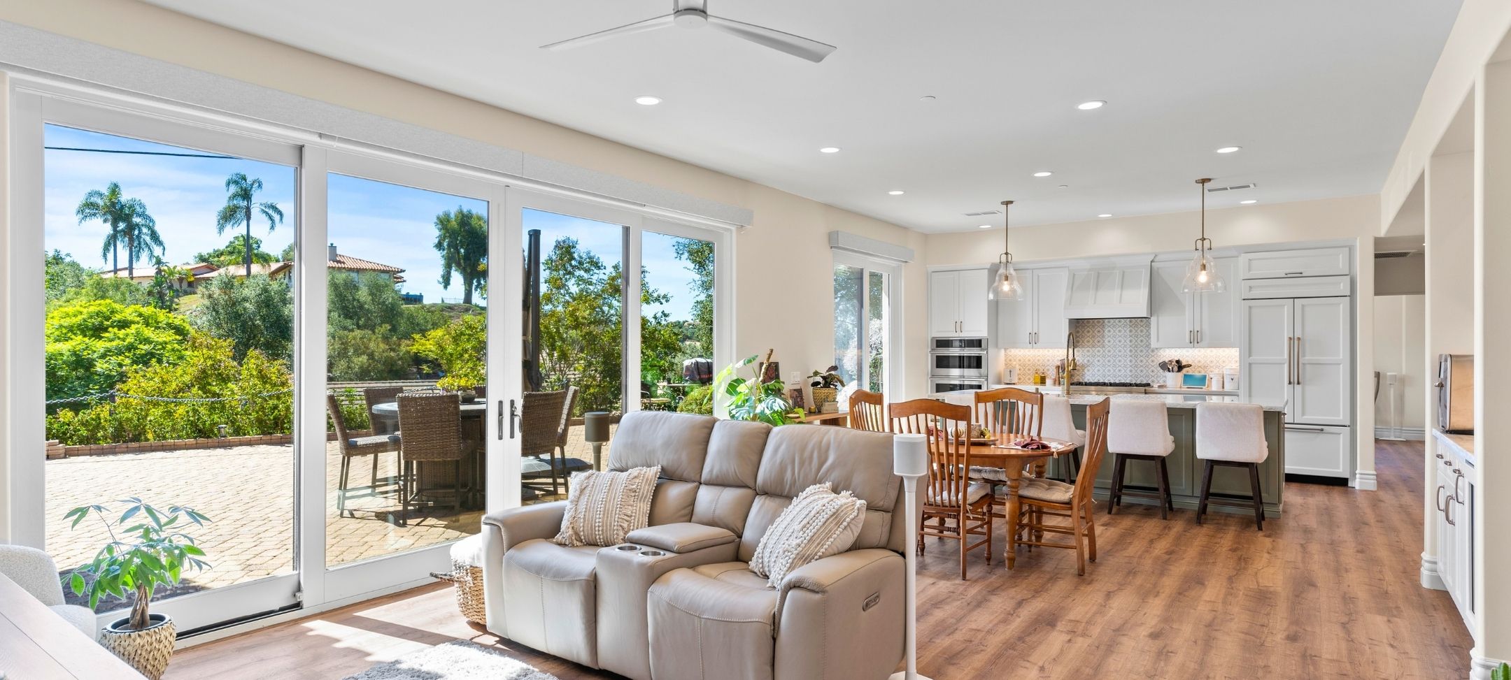
For an Ocean Beach ADU, the hard question is often not whether a unit type exists in state law, but how the cottage, parking context, yard, privacy, alley, and coastal application fit together. A garage conversion may preserve the yard yet expose legal-structure, flood, parking, or utility issues that a detached concept handles differently.
Confirm the mapped Beach Impact and appeal conditions, current CDP path, qualifying AB 462 application rules, historic record, legal units, garage permit history, sewer, electrical service, fire separation, drainage, and material route before choosing a plan or marketing a schedule.
Ocean Beach remodeling value is best framed around livability, durable coastal performance, flexibility, and long-term maintenance—not guaranteed market return or rental income. A coordinated plan can improve daily life while resolving exposure, system, approval, and access needs.
| Project Driver | Why It Matters Locally |
|---|---|
| Whole-home modernization | Older cottages, postwar homes, repeatedly remodeled interiors, and coastal properties can benefit from coordinated layout, systems, envelope, windows, storage, lighting, and finish improvements. |
| Kitchen remodeling | A better kitchen can improve storage, circulation, entertaining, daylight, ventilation, and the relationship between indoor rooms, a patio, yard, deck, or view. |
| Character-sensitive additions | A well-planned addition can create needed space while respecting massing, height, coastal review, parking, privacy, structure, utilities, drainage, and useful outdoor area. |
| ADUs and flexible living | A suitable property may support caregiving, guests, multigenerational living, or work-from-home needs when current coastal, parking, utility, historic, site, and access rules align. |
| Indoor-outdoor connection | Larger openings, decks, patios, shade, wind protection, planting, and outdoor kitchens should respond to exposure, views, privacy, waterproofing, drainage, coastal rules, and maintenance. |
| Aging in place | Improved circulation, accessible bathrooms, safer entries, comfortable suites, good lighting, storage, and flexible rooms can support long-term living in an established coastal community. |
| Durable systems and envelope | Electrical, plumbing, HVAC, ventilation, roofing, windows, foundations, waterproofing, drainage, corrosion-resistant details, insulation, and efficient equipment improve performance behind the visible design. |
Choose the project type that fits your home, household, coastal context, site, and goals. Lars coordinates design, estimating, selections, permitting support, and construction through one accountable team.
Explore nearby communities where Lars Remodeling & Design brings coordinated design-build planning, permitting support, and construction expertise.