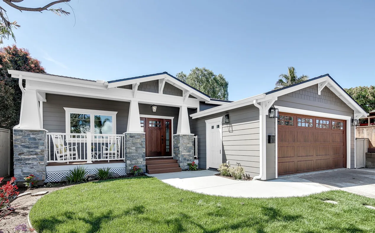
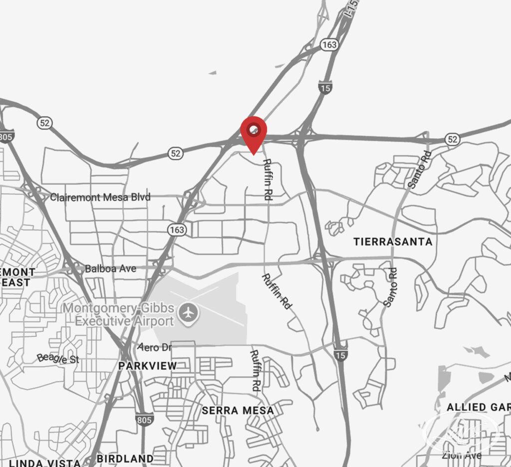
Design-Build Contractor In Clairemont, CA

Choose a design build contractor Clairemont homeowners can rely on to coordinate architecture, interior design, estimating, City permitting support, project management, and construction through one accountable San Diego team.

Design-build home remodeling in Clairemont, CA
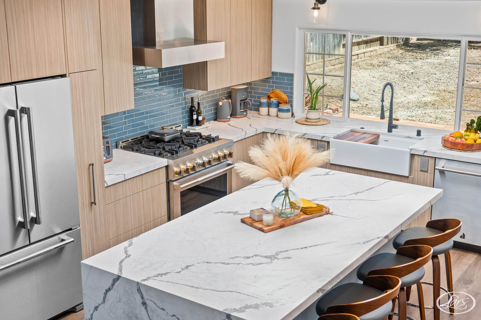
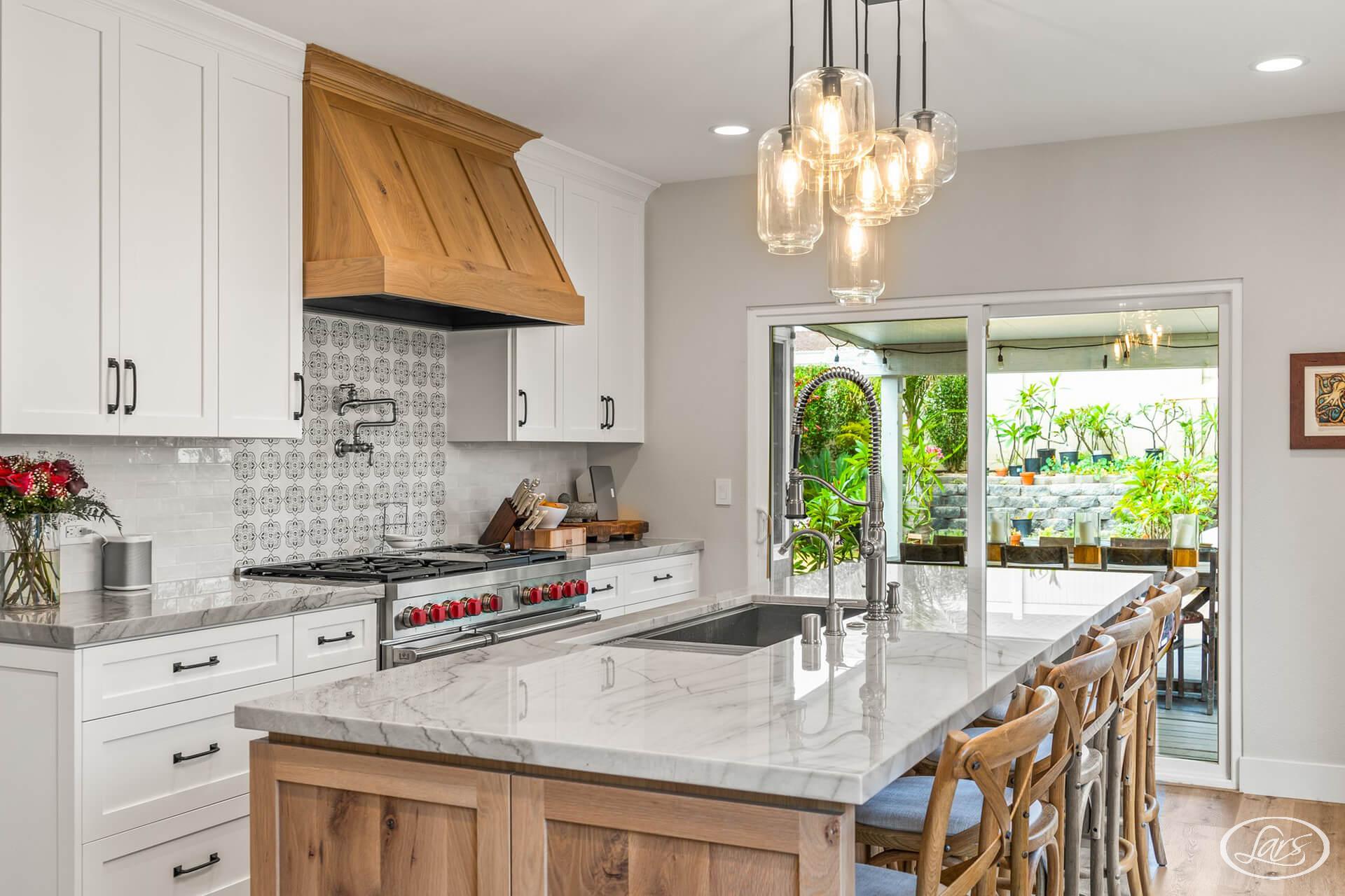
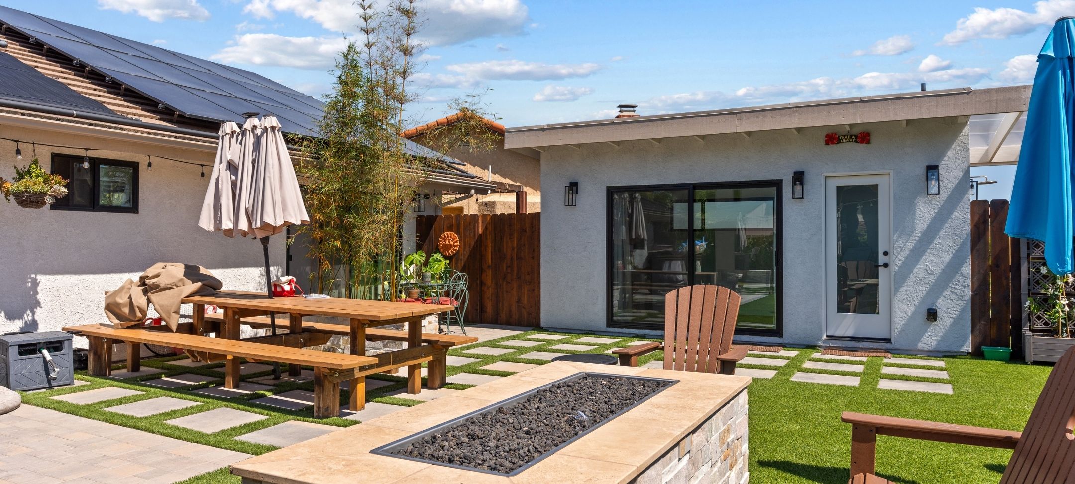
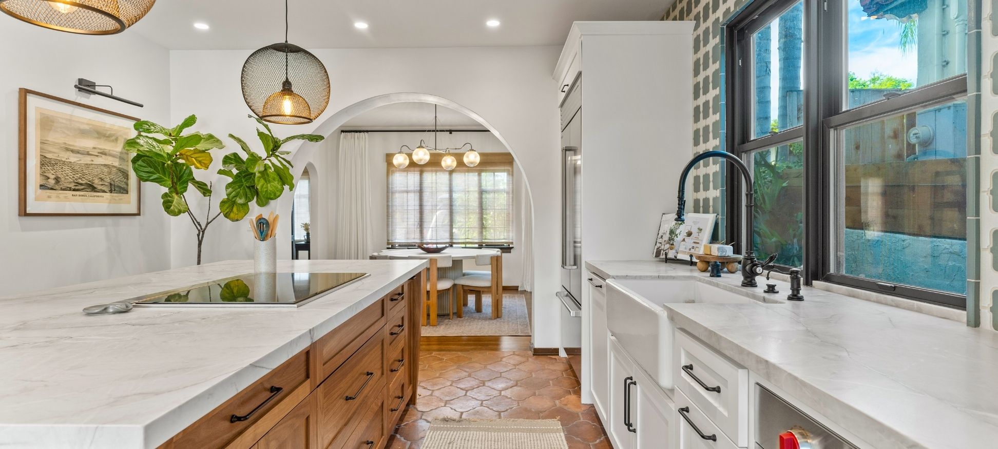
Design build contractor Clairemont remodeling inspiration

Design-Build Remodeling In Clairemont

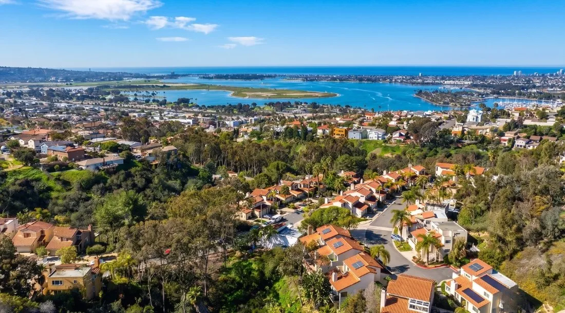
Clairemont is one of San Diego’s defining postwar communities. Many homes were built in the 1950s and 1960s as single-story ranch and mid-century tract residences across mesa neighborhoods divided by Tecolote, San Clemente, and smaller canyon systems. Western blocks can capture Mission Bay and Pacific views, while canyon-edge and corridor properties bring different slope, access, zoning, and review questions.

Lars connects architecture, interior design, estimating, selections, City permitting support, engineering, project management, and construction from the beginning. An address-first process helps align the original home, adopted 2025 Community Plan, current zoning, mapped height, coastal and airport overlays, structure, systems, ADU potential, views, site conditions, and budget before design and pricing separate.

Clairemont Design-Build Contractor

A Remodeling Approach Shaped For Clairemont Homes

Home remodeling in Clairemont should start with the address, existing building, and proposed scope. The community is within the City of San Diego, but adopted-plan zoning, the parcel’s mapped Clairemont Height Overlay limit, Coastal Overlay status near western specific-plan areas, airport compatibility, building age, canyon conditions, utilities, and access vary property by property.

Confirm Current Zoning And Height

The City adopted the new Clairemont Community Plan in December 2025 with rezones and a revised height-overlay map. Confirm the parcel’s current base zone, specific-plan context, mapped maximum height, and whether a discretionary exception would be needed.

Modernize The Actual Home

A 1950s ranch, mid-century tract home, repeatedly altered residence, canyon-edge property, condo, and newer corridor home can present different foundations, structures, systems, ownership rules, views, and opportunities.

Screen Maps And Construction Access

Coastal, airport, community-enhancement, canyon, slope, historic, utility, parking, delivery, and staging questions are parcel-specific. Early feasibility identifies the controls that actually belong in the design and schedule.

Clairemont Home Remodeling With One Accountable Team

Clairemont homeowners should not have to coordinate separate architects, interior designers, structural consultants, estimators, Community Plan and height-overlay questions, permit documents, selections, and contractors on their own. Lars keeps feasibility, design, approvals, cost, and construction connected through one design-build process.

  • One integrated team coordinates architecture, interiors, estimating, permitting support, project management, and construction.
  • Address-level feasibility brings the existing home, current zoning, mapped height, coastal and airport overlays, canyon conditions, structure, systems, parking, access, and likely City review into planning early.
  • Design, structural input, selections, scope, pricing, permit documents, and construction logistics develop together instead of through disconnected handoffs.
  • Project management and communication continue from the first consultation through construction and final walkthrough.

Written On-Time Guarantee

A defined construction schedule backed by the Lars process once approvals, selections, site conditions, and project eligibility are confirmed.

35+

Years Serving San Diego

A long-standing design-build team experienced with older homes, detailed renovations, and coordinated approvals.

1

Integrated Contract

Architecture, interior design, estimating, permitting support, project management, and construction stay aligned.

Early

Parcel And Home Screening

Zoning, overlays, mapped height, building systems, site conditions, access, and likely review are considered before the design hardens.

Design-build remodeling and permit planning in Clairemont

Design And Build Contractor For Clairemont Homeowners

Lars supports whole-home remodels, kitchens, bathrooms, room additions, ADUs, outdoor living spaces, and custom homes. Architecture and construction are planned together so layout, structure, systems, character, finishes, City documents, and field execution stay connected.

The process begins with the address, house, parcel, and household goals. Confirming current zoning, the Clairemont Height Overlay map, specific plans, coastal and airport overlays, building age, structure, foundation, electrical service, plumbing, HVAC, utilities, canyon context, setbacks, parking, access, and staging early helps create a scope that is imaginative and feasible.

  • Architecture, interior design, estimating, permitting support, project management, and construction under one coordinated process.
  • Early review of current zoning, mapped height, relevant overlays, existing systems, structure, parcel conditions, access, utilities, and likely City requirements.
  • Kitchen, bathroom, addition, ADU, whole-home, outdoor-living, and custom-home planning tailored to Clairemont properties.
Mid-century ranch and canyon-edge home remodeling in Clairemont

Remodeling Clairemont's Ranch, Mid-Century, And Canyon-Edge Homes

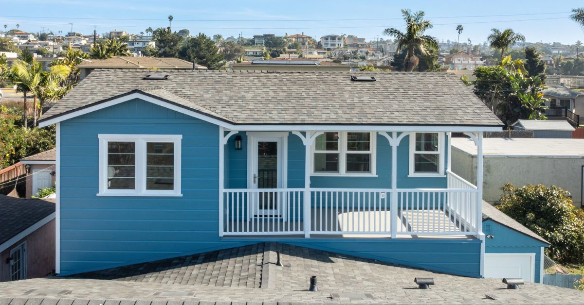
Clairemont’s rapid postwar growth produced a recognizable mix of California ranch homes and straightforward mid-century tract residences, followed by additions, second stories, condominiums, townhomes, and newer infill. Original plans often prioritized efficient single-level living, attached garages, modest kitchens, and direct yards; today’s remodels can improve circulation, storage, daylight, work space, accessible living, and indoor-outdoor connection while keeping the house proportional to its lot and street.

Foundation type, framing, and prior work vary by property, even within one tract. Before major changes, evaluate the actual foundation, roof and wall structure, electrical service and wiring, galvanized or later plumbing, HVAC, roofing, windows, insulation, ventilation, drainage, moisture, termite damage, sewer condition, prior additions, and permit history. That investigation helps decide whether the right solution is a focused remodel, whole-home modernization, addition, ADU, or more extensive rebuild.

  • Evaluate foundation, structure, electrical, plumbing, HVAC, sewer, windows, insulation, moisture, prior work, and permit records before layout and finish commitments are finalized.
  • Use the original roofline, garage, postwar proportions, existing openings, and yard relationship as design inputs rather than erasing the home’s scale without a reason.
  • Plan additions and view openings around mapped height, privacy, daylight, canyon or bay views, drainage, utilities, parking, neighboring homes, outdoor space, and construction access.
Local Housing Snapshot

Clairemont Housing And Market Cheat Sheet

Clairemont’s postwar housing pattern is a useful starting point, but two homes from the same decade can have different foundations, additions, systems, mapped heights, view relationships, and permit histories. Use these local patterns to organize discovery, then verify the actual building and parcel.

Build Era

A Postwar Community Built Largely In The 1950s And 1960s

Clairemont became one of San Diego’s defining post-World War II communities, with much of its detached housing built rapidly during the 1950s and 1960s. Later room additions, second stories, condominium and townhome development, and corridor infill now sit alongside that original stock. Build year should prompt record research and existing-condition investigation, not an assumption that every tract home was constructed or altered the same way.

Home Types

California Ranches, Mid-Century Tracts, And Later Transformations

Single-story ranch homes and straightforward mid-century tract plans remain central to Clairemont’s residential character. Later additions, raised rooflines, second stories, townhomes, condominiums, and newer corridor housing add different structural and ownership questions. A successful remodel should decide what is worth preserving, what needs modernization, and how new space will remain proportional to the original home and street.

Property Context

Mesa Lots, Canyon Edges, View Slopes, And Corridor Parcels

Clairemont sits on mesas divided by Tecolote, San Clemente, and smaller canyon systems. Some western properties gain Mission Bay or Pacific views; canyon-edge lots can add slope, drainage, fire, habitat, access, or retaining questions; and corridor parcels may fall within a specific plan or newer zoning framework. The parcel map, field conditions, utilities, neighbors, and construction route belong in early design.

Common Remodel Priorities

Modernize Systems While Improving Everyday Flow

Common priorities include electrical, plumbing, sewer, HVAC, window, insulation, and ventilation coordination; kitchens that connect more naturally to gathering areas; better storage; comfortable primary suites; accessible living; additions or ADUs; and stronger indoor-outdoor relationships. Planning those needs together prevents visible improvements from getting ahead of the structure and systems that support them.

Market Positioning

An Established Primary-Residence Market With Varied Remodel Stories

Clairemont is a central San Diego residential market where original-condition postwar homes, incrementally altered properties, and fully reworked residences can sit close together. A cohesive remodel can support long-term livability by resolving aging systems, layout, storage, flexible space, and outdoor connection in one scope. Market data is context rather than a promised return, so compare the current neighborhood trend with the home’s condition, parcel, project cost, and ownership goals.

Explore Current Clairemont Mesa East Market Data

Clairemont Building Permits Start With Current Parcel Maps

Clairemont is within the City of San Diego. Development Services reviews building permits, while Planning maintains the adopted December 2025 Clairemont Community Plan and associated maps. The current zone, mapped height, specific-plan or coastal context, airport influence, building age, site, and scope determine the actual path.

Review Item What It Can Mean For A Clairemont Remodel
City of San Diego authority Development Services handles building permit applications, plan review, and inspections. Use the City’s current online portal, application guidance, and project type rather than relying on a neighborhood office or a generic contractor checklist.
Building permit scope New structures and regulated improvements commonly require a building permit. Structural openings, additions, electrical, plumbing, mechanical, energy, and other work change the required documents and inspections; limited work may be exempt under current code.
2025 Clairemont Community Plan The City Council adopted the updated plan on December 16, 2025. It provides long-range land-use, mobility, urban-design, public-space, and environmental direction. Associated zoning and implementation documents must be read with the current parcel record.
Current zoning and rezones The Community Plan update included rezones. Confirm the current base zone, use, lot dimensions, setbacks, density, floor-area rules, parking context, and applicable incentives before locating an addition, second story, ADU, or new dwelling.
Clairemont Height Overlay map The amended overlay uses Map No. C-1041 to depict parcel-area maximum heights rather than one universal Clairemont number. Confirm the mapped limit before designing a second story, addition, ADU, or redevelopment.
Height exception Municipal Code section 132.1306 allows an applicant to request an exception through a Site Development Permit considered by the City Council under Process Five. A design that stays within mapped standards can follow a different path from one that depends on an exception.
Morena Corridor Specific Plan Some western Clairemont properties fall within the Morena Corridor Specific Plan. Its land-use designations and supplemental standards should be checked with current zoning and the Community Plan rather than applied to the whole neighborhood.
Balboa Avenue Station Area Specific Plan The western edge of the Clairemont planning area intersects this specific-plan context. It includes adopted land-use and supplemental regulations and has Local Coastal Program history, so the parcel map—not the Clairemont name—controls whether coastal provisions enter the review.
Coastal Overlay Zone Most detached-home areas are inland, but do not publish or plan from a blanket “no coastal review anywhere” assumption. Confirm the City’s Coastal Overlay and permit-jurisdiction maps for western or specific-plan parcels before ruling out a Coastal Development Permit or LCP issue.
Airport compatibility overlays Portions of Clairemont lie within influence areas for Montgomery-Gibbs Executive Airport and MCAS Miramar. Noise, safety, airspace, avigation, and review-area factors are map-specific; typical residential work should still be screened against the address.
Community Enhancement Overlay The plan update mapped certain areas for supplemental public-space and connectivity requirements. This is most relevant to qualifying development in designated corridor or redevelopment areas, not automatically every detached-home remodel.
Older structures and historic screening Many Clairemont homes are more than 45 years old. Depending on the permit scope and City rules, photographs and building records may be needed so staff can determine whether historical-resource review applies. Building age alone is not the same as designation.
ADUs and JADUs The City’s January 2026 Information Bulletin 400 provides current ADU and JADU guidance. Confirm zone, unit type and number, size, setbacks, height, fire separation, utilities, parking, fees, sustainable-development-area status, and whether coastal provisions apply before choosing a plan.
Canyon, drainage, and geotechnical conditions Tecolote, San Clemente, and smaller canyon systems shape the community. A canyon-edge or sloped lot can add geotechnical, drainage, retaining, brush-management, habitat, fire, foundation, and construction-access questions.
Schedule and fees There is no dependable universal duration or fee. Completeness, current zoning, mapped height, corrections, structural and technical review, discretionary permits, airport or coastal questions, utilities, grading, and project changes can affect the full schedule.
What It Can Mean For A Clairemont Remodel

Development Services handles building permit applications, plan review, and inspections. Use the City’s current online portal, application guidance, and project type rather than relying on a neighborhood office or a generic contractor checklist.

Current City Review Sequence

Typical Permit Review Timeline

San Diego publishes a weekly snapshot for intake, plan review, rechecks, and issuance. The live value must be matched to the actual application and review type; Clairemont zoning, mapped height, specific-plan, coastal, airport, canyon, historic, or discretionary questions can add work outside a basic building-review queue.

  1. 01

    Application Intake

    Project-Specific—View Current City Estimate

    Intake runs from the first upload through pre-screen. Use the current City table for the application type, and submit complete forms, coordinated plans, calculations, photographs, and supporting documents so the project can be routed to the correct disciplines.

  2. 02

    First Plan Review

    Project-Specific—View Current City Estimate

    First review begins after the project is deemed complete and setup fees are paid. A Clairemont remodel may involve building, planning, structural, energy, fire, historical, coastal, airport, transportation, or other review depending on the address and scope.

  3. 03

    Correction And Recheck

    Project-Specific—View Current City Estimate

    A recheck begins after every requested document is uploaded. Wait for the coordinated review cycle, then submit one consolidated response so architectural, structural, energy, systems, site, and planning corrections stay aligned.

  4. 04

    Final Permit Issuance

    After All Required Reviews Are Complete

    Issuance follows completed reviews, required clearances, final documents, and payment. A planning approval, outside clearance, deferred item, or unresolved correction can keep a project from issuance even when part of the building review is complete.

These are agency processing estimates, not a total project schedule or approval guarantee. Design development, consultant work, specific-plan or coastal review, mapped-height questions, airport screening, historic review, correction cycles, utilities, and applicant response time can add separate duration.

View The Current City Permit-Processing Timeline
Address-First Feasibility

Clairemont ADU Rules Quick Guide

These are current City and state starting points for testing an ADU concept. The address, base zone, mapped height, coastal status, existing development, unit type, utilities, access, and site conditions still determine what can be permitted and built.

Maximum Size

An attached or detached ADU may be up to 1,200 square feet under current City guidance. Floor-area rules, unit type, mapped or ADU-specific height, existing development, fire separation, and property conditions can still shape the workable size and form.

Common Setback Starting Point

Four feet is a common side- and rear-yard starting point for certain ADUs, but current City rules contain important height, base-zone, property-line, fire, brush-management, opening-protection, street-side, and coastal qualifications. Confirm the design against the parcel and current bulletin.

Potential Unit Combination

On a qualifying single-dwelling property, evaluate a new attached or detached ADU, conversion of legally permitted space, and a JADU under the current City and state rules. The allowed number, location, size, and combination depend on the existing development and applicable regulations.

Clairemont Checks

Confirm current zoning and rezones, the Clairemont Height Overlay, specific-plan and coastal status, airport influence, legal garage or conversion space, electrical and sewer capacity, fire separation, privacy, access, drainage, canyon or slope conditions, and older-building review before choosing a concept.

A large-looking yard, garage, or permissive statewide rule does not establish buildable area. Confirm the address, legal existing development, current zone, mapped height, overlays, utilities, access, fire separation, drainage, and site conditions before relying on an ADU layout.

Address-Specific Review Triggers

Local Planning Conditions To Check

Clairemont does not have one universal zoning, height, overlay, or site condition. These three filters identify the current public maps and property evidence that should shape feasibility before the design depends on an assumption.

Common Address Check

Current Zoning And Clairemont Height Map

The City adopted the updated Clairemont Community Plan in December 2025 with associated rezones and an amended height overlay. Confirm the parcel’s current base zone, land-use designation, and Map C-1041 height category before designing an addition, second story, ADU, or redevelopment; Clairemont does not have one universal maximum height.

Review The Clairemont Plan And Height Materials
Limited Areas

Airport And Specific-Plan Layers

Portions of Clairemont intersect airport influence areas for Montgomery-Gibbs Executive Airport or MCAS Miramar, while western corridor parcels may fall within the Morena Corridor or Balboa Avenue Station Area Specific Plan. Confirm the actual map layer, review area, supplemental regulations, and proposed work instead of applying these controls communitywide.

Review The Adopted Clairemont Community Plan
Parcel-Specific

Canyon, Slope, Coastal, And Historic Screening

Canyon-edge or sloped sites can add drainage, geotechnical, retaining, habitat, fire, and access questions. Western parcels must be checked for Coastal Overlay status, and older structures may need historical-resource screening based on the work. Use current City zoning and permit records rather than treating the Clairemont name as the answer.

Check Current City Zoning And Overlay Resources

Different Clairemont Projects Follow Different Review Paths

Clairemont’s repeating postwar house plans can make two projects look similar from the street while sending them down very different review paths. The original structure, legal history, Map C-1041 height category, western planning layers, canyon relationship, and exact intervention decide what must be documented.

Project Situation Planning Impact
Reworking an original ranch interior A wall that appears to separate the compact kitchen from the living room may carry roof or lateral loads, conceal aging services, or connect to an altered garage. Record the framing direction, foundation support, electrical panel, plumbing route, and prior permits before an open plan is treated as a finish decision.
Enclosed patio, converted garage, or undocumented addition Many postwar houses accumulated floor area in stages. Compare the field measurements with City records before using that space in the new program; legal status, slab level, weather protection, ceiling height, egress, parking history, and utility work can change whether the area is retained, rebuilt, or removed.
Second story over a single-level tract home Start with the parcel’s C-1041 height category and the existing foundation, shear walls, roof geometry, and stair location. Then test western or canyon views against neighboring windows, shade, street scale, construction shoring, and the possibility that the desired massing depends on a discretionary height exception.
Rear addition on a compact mesa lot A family room or primary suite competes with the yard, mature landscape, drainage path, privacy, and equipment access. Map sewer and utility routes, rear and side setbacks, window relationships, roof drainage, material staging, and how workers will reach the new foundation without turning the remaining outdoor area into leftover space.
ADU or garage-based living space Verify that the garage or other conversion area is legally permitted and measure how the main house, new dwelling, parking, private entries, windows, meters, sewer, refuse, and usable yard will coexist. The City ADU path does not resolve a tight turning radius, low service capacity, or direct views between households.
Morena Corridor or Balboa Station parcel Read the specific-plan boundary together with the adopted community plan, current zone, Clairemont height map, and Coastal Overlay information. These western transit-area rules belong to mapped properties; they should not be borrowed for a ranch home several blocks outside the boundary.
Home within an airport review area Identify whether Montgomery-Gibbs Executive Airport or MCAS Miramar is the relevant facility and which review area reaches the parcel. The design response may be limited to documentation, notice, or noise-conscious assemblies, but that conclusion should follow the map rather than a neighborhood-wide assumption.
Canyon-lip, descending, or retained site Trace the top and toe of slope, existing walls, roof and yard drainage, vegetation, access path, and distance to open space. A survey, geotechnical input, civil drainage, brush-management review, or smaller construction equipment may be more important to feasibility than the square footage shown on the first sketch.
Condominium or townhome alteration Establish which walls, slabs, roofs, windows, balconies, pipes, ducts, and shutoffs are individually owned. The association’s drawing package, insurance conditions, neighbor notification, elevator or stair protection, debris route, and allowed work windows must be coordinated with—not substituted for—the City permit set.
Planning Impact

A wall that appears to separate the compact kitchen from the living room may carry roof or lateral loads, conceal aging services, or connect to an altered garage. Record the framing direction, foundation support, electrical panel, plumbing route, and prior permits before an open plan is treated as a finish decision.

Clairemont Areas Need Address-Level Planning

The supplied research and adopted Community Plan identify useful differences in architecture, topography, views, corridors, and access. These area names are planning context—not legal conclusions about zoning, height, coastal or airport overlays, specific-plan boundaries, or permit path.

Area Typical Character Planning Note
North Clairemont Predominantly postwar residential neighborhoods with ranch and tract homes, established streets, schools, parks, and access to major corridors. Check current zoning, mapped height, airport influence, original structure and systems, utilities, privacy, parking, additions, ADU fit, and construction access.
Clairemont Mesa East Mid-century neighborhoods and commercial corridors toward Kearny Mesa and Montgomery-Gibbs Executive Airport influence areas. Confirm airport overlay and review area, current zoning, mapped height, traffic and noise context, utility capacity, privacy, access, and the existing home.
Clairemont Mesa West Postwar homes on mesas and slopes with stronger Mission Bay or Pacific view opportunities and access to western corridors. Balance views and indoor-outdoor goals with the parcel’s height map, coastal status, specific-plan context, privacy, slope, drainage, wind, utilities, access, and neighbor relationships.
Bay Park border Bay-oriented hillsides, ranch and remodeled homes, mature lots, trolley access, and everyday neighborhood labels that can cross formal planning boundaries. Confirm the actual community plan, Morena Corridor boundary, Coastal Overlay status, height, slope, drainage, views, utilities, access, and parcel record.
Tecolote Canyon-adjacent blocks Residential streets near open space, slopes, drainage patterns, habitat, trails, and canyon views. Evaluate mapped environmental and fire conditions, soils, drainage, retaining, brush management, privacy, wildlife-sensitive lighting, equipment access, and staging.
Morena and Balboa corridor areas Trolley-connected, commercial, multifamily, mixed-use, and redevelopment areas governed by current zoning and, where mapped, specific plans and community-enhancement requirements. Use the adopted plan, specific-plan boundary, rezone map, height map, Coastal Overlay map, airport map, parking, access, and public-space requirements for the actual parcel.
Typical Character

Predominantly postwar residential neighborhoods with ranch and tract homes, established streets, schools, parks, and access to major corridors.

Planning Note

Check current zoning, mapped height, airport influence, original structure and systems, utilities, privacy, parking, additions, ADU fit, and construction access.

Site And Building Conditions That Can Change A Clairemont Remodel

Clairemont’s orderly tract streets conceal a surprising amount of variation behind the façades. Original construction, decades of additions, mesa drainage, western views, canyon edges, and recently adopted map changes can alter both the design opportunity and the sequence of work.

Condition What To Plan For
The tract plan versus the house that exists now Photograph and measure the crawlspace or slab, bearing lines, attic framing, panel, supply and waste piping, furnace and duct paths, windows, roof, and every visible tie-in. Repeated tract elevations are not proof that prior owners left the structure or systems untouched.
Permit archaeology Build a timeline from City records, seller information, field seams, material changes, and selective openings. An older family-room bump-out, enclosed breezeway, relocated kitchen, or garage conversion may explain uneven floors, unusual headers, hidden junctions, or missing insulation that the new documents must resolve.
C-1041 height category and western outlook Locate the parcel on the amended Clairemont height map before drawing upper-level floor area. A bay-facing roof deck, westward glazing, or second story also needs a deliberate response to neighboring privacy, afternoon heat, marine exposure, roof drainage, and the way the new mass will read from the street below.
Mesa drainage and canyon transition Follow water from the roof to the street or canyon side, including low spots, yard drains, retaining walls, downspout outlets, and evidence of erosion. On a descending or canyon-adjacent property, foundation and landscape design should be coordinated with soils, slope, habitat, brush, and realistic equipment access.
Garage, driveway, and side-yard geometry The attached garage often anchors both the original plan and the construction route. Record the driveway grade, side-yard width, gates, meters, overhead wires, street trees, curb space, and turning room before relying on a garage conversion, rear addition, crane pick, concrete pump, or full-size waste container.
Postwar service capacity Map the electrical service, panel locations, water service, gas, sewer lateral, cleanouts, and feasible equipment zones as a connected diagram. An induction kitchen, heat-pump conversion, EV charging, added suite, or ADU can create overlapping demand and trenching choices that are cheaper to solve once than in separate phases.
Western plan, coastal, and airport boundaries A mailing address does not reveal whether the property touches the Morena Corridor, Balboa Avenue Station Area, Coastal Overlay, Montgomery-Gibbs influence area, or MCAS Miramar influence area. Save the current map evidence in the project file and design only to the layers that actually cross the parcel.
Construction on a settled residential block Plan the daily route for labor, small tools, long materials, demolition debris, portable facilities, and inspections around school traffic, parked cars, narrow side yards, pets, and close neighbors. A written protection and cleanup routine is part of preserving the mature street while the house changes behind it.
What To Plan For

Photograph and measure the crawlspace or slab, bearing lines, attic framing, panel, supply and waste piping, furnace and duct paths, windows, roof, and every visible tie-in. Repeated tract elevations are not proof that prior owners left the structure or systems untouched.

Clairemont Project Planning

Planning Priorities For Clairemont Homes

Modernizing A Mid-Century Clairemont Home

Modernizing A Mid-Century Clairemont Home

A 1950s or 1960s Clairemont home can gain a more functional kitchen, connected but well-zoned living areas, a comfortable primary suite, accessible bathroom, better storage, improved daylight, efficient systems, and a stronger relationship to the yard while retaining the clear proportions of its postwar architecture.

Start by documenting the existing house and confirming prior permits, foundation, framing, roof structure, electrical service and wiring, plumbing, sewer, HVAC, roofing, windows, insulation, ventilation, drainage, moisture, and termite conditions. That record helps the team connect visible design decisions to the systems that support them.

Additions, Views, And The Clairemont Height Map

Additions, Views, And The Clairemont Height Map

A primary suite, family room, office, accessible bedroom, or second-story addition can make an established home work for a changing household. The best design respects the original massing, protects useful outdoor space, manages privacy and shade, brings in daylight, and uses bay or canyon views without depending on an unverified height assumption.

Feasibility should connect current zoning, the parcel’s mapped height, setbacks, structure, foundation, airport or coastal context where applicable, utilities, drainage, parking, trees, neighboring windows, street access, equipment, deliveries, debris, and staging before the footprint and roof form are finalized.

ADUs And Flexible Living In Clairemont

ADUs And Flexible Living In Clairemont

An attached, detached, converted, or junior ADU may support multigenerational living, caregiving, guests, work-from-home needs, or long-term flexibility. Its position should balance the main house, privacy, daylight, outdoor space, access, utilities, drainage, parking, and the experience of both households.

The City’s January 2026 Information Bulletin 400 describes the current permit path. Confirm unit type, allowable location and number, size, mapped and ADU-specific height, setbacks, fire separation, utilities, parking, coastal provisions where mapped, legal existing space, and property-specific conditions before selecting a plan or assuming a garage conversion is straightforward.

What Drives Home Remodeling Value In Clairemont

Clairemont’s remodel value is often created by making a modest postwar footprint work harder without losing the yard, light, street character, or central-location convenience that attracted the household. The right scope is a long-term living decision, not a guaranteed resale formula.

Project Driver Why It Matters Locally
Resetting a layered postwar interior Removing decades of disconnected finishes is most useful when the team also clarifies circulation, door swings, storage, lighting, ceiling transitions, and the relationship between old and added rooms. A consistent plan can make a modest house feel intentional without chasing unnecessary floor area.
Opening the kitchen with structural discipline The familiar goal of connecting kitchen, dining, and living space should begin with roof loads, bearing points, utility paths, and sightlines to the yard. A carefully placed opening can improve family interaction and daylight while retaining a useful wall for tall storage or appliances.
Adding space without surrendering the yard On a compact mesa lot, every added foot affects landscape, patio use, privacy, drainage, and construction access. A primary suite or family room earns its footprint when it improves the whole plan and leaves a deliberate outdoor room instead of a narrow residual setback.
Choosing between an ADU and a main-house addition A secondary unit can solve caregiving, guest, or independent-living needs, while an addition may serve the household more directly. Compare entry privacy, legal garage status, utilities, parking, yard division, long-term management, and the main home’s missing functions before choosing the unit type.
Making single-level living last longer Many original ranch plans already avoid stairs. Wider circulation, a curbless shower, layered lighting, reachable storage, safer thresholds, and a comfortable bedroom-bath relationship can turn that basic advantage into a more thoughtful plan for changing mobility.
Using bay or canyon orientation well Larger openings should capture a real view or outdoor relationship while managing west sun, glare, wind, neighboring windows, guard conditions, waterproofing, and furniture placement. The goal is a room that works throughout the day, not simply the largest pane the wall can hold.
Coordinating the invisible reset A new panel, repipe, sewer work, heat-pump system, insulation, air sealing, windows, roof, and drainage rarely photograph like a kitchen. Resolving them with the visible remodel protects finishes, reduces repeat demolition, and lets later electrification or added living space start from a known baseline.
Why It Matters Locally

Removing decades of disconnected finishes is most useful when the team also clarifies circulation, door swings, storage, lighting, ceiling transitions, and the relationship between old and added rooms. A consistent plan can make a modest house feel intentional without chasing unnecessary floor area.

Start Planning Your Clairemont Remodel

Explore Remodeling Services For Clairemont Homeowners

Choose the project type that fits your home, household, current zoning, mapped height, site, and goals. Lars coordinates design, estimating, selections, permitting support, and construction through one accountable team.