| City of San Diego authority |
Development Services handles building permit applications, plan review, and inspections. Use the City’s current online portal, application guidance, and project type rather than relying on a neighborhood office or a generic contractor checklist. |
| Building permit scope |
New structures and regulated improvements commonly require a building permit. Structural openings, additions, electrical, plumbing, mechanical, energy, and other work change the required documents and inspections; limited work may be exempt under current code. |
| 2025 Clairemont Community Plan |
The City Council adopted the updated plan on December 16, 2025. It provides long-range land-use, mobility, urban-design, public-space, and environmental direction. Associated zoning and implementation documents must be read with the current parcel record. |
| Current zoning and rezones |
The Community Plan update included rezones. Confirm the current base zone, use, lot dimensions, setbacks, density, floor-area rules, parking context, and applicable incentives before locating an addition, second story, ADU, or new dwelling. |
| Clairemont Height Overlay map |
The amended overlay uses Map No. C-1041 to depict parcel-area maximum heights rather than one universal Clairemont number. Confirm the mapped limit before designing a second story, addition, ADU, or redevelopment. |
| Height exception |
Municipal Code section 132.1306 allows an applicant to request an exception through a Site Development Permit considered by the City Council under Process Five. A design that stays within mapped standards can follow a different path from one that depends on an exception. |
| Morena Corridor Specific Plan |
Some western Clairemont properties fall within the Morena Corridor Specific Plan. Its land-use designations and supplemental standards should be checked with current zoning and the Community Plan rather than applied to the whole neighborhood. |
| Balboa Avenue Station Area Specific Plan |
The western edge of the Clairemont planning area intersects this specific-plan context. It includes adopted land-use and supplemental regulations and has Local Coastal Program history, so the parcel map—not the Clairemont name—controls whether coastal provisions enter the review. |
| Coastal Overlay Zone |
Most detached-home areas are inland, but do not publish or plan from a blanket “no coastal review anywhere” assumption. Confirm the City’s Coastal Overlay and permit-jurisdiction maps for western or specific-plan parcels before ruling out a Coastal Development Permit or LCP issue. |
| Airport compatibility overlays |
Portions of Clairemont lie within influence areas for Montgomery-Gibbs Executive Airport and MCAS Miramar. Noise, safety, airspace, avigation, and review-area factors are map-specific; typical residential work should still be screened against the address. |
| Community Enhancement Overlay |
The plan update mapped certain areas for supplemental public-space and connectivity requirements. This is most relevant to qualifying development in designated corridor or redevelopment areas, not automatically every detached-home remodel. |
| Older structures and historic screening |
Many Clairemont homes are more than 45 years old. Depending on the permit scope and City rules, photographs and building records may be needed so staff can determine whether historical-resource review applies. Building age alone is not the same as designation. |
| ADUs and JADUs |
The City’s January 2026 Information Bulletin 400 provides current ADU and JADU guidance. Confirm zone, unit type and number, size, setbacks, height, fire separation, utilities, parking, fees, sustainable-development-area status, and whether coastal provisions apply before choosing a plan. |
| Canyon, drainage, and geotechnical conditions |
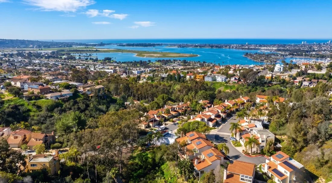
Tecolote, San Clemente, and smaller canyon systems shape the community. A canyon-edge or sloped lot can add geotechnical, drainage, retaining, brush-management, habitat, fire, foundation, and construction-access questions. |
| Schedule and fees |
There is no dependable universal duration or fee. Completeness, current zoning, mapped height, corrections, structural and technical review, discretionary permits, airport or coastal questions, utilities, grading, and project changes can affect the full schedule. |